Beneficial Use of Dredged Material
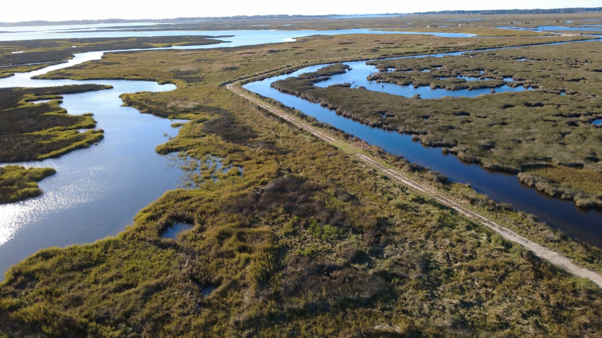
We help dredging projects and marsh restoration projects find each other, turning maintenance-dredged sediment into the material that raises sinking marsh, rebuilds eroding shorelines, and restores islands in the Chesapeake Bay.
Our approach
Beneficial use projects live or die on the target elevation and on holding fine-grained slurry in place long enough to settle. We gauge tides on site, survey marsh elevations and vegetation with RTK GPS and drone LiDAR, and pair the two to set a placement elevation that will support the target marsh community after settlement. Containment and dewatering details, including ditch plugs, berms, and perimeter structures, are designed around the site, and we review sediment suitability and placement windows with the dredging agency. During placement we monitor volumes, turbidity, and containment performance, adjust the plan as conditions change, and then map the as-built surface to plan the planting. Settlement, tidal, and vegetation monitoring continue through the permit term.
Typical analyses and design considerations
- Tide gauging and water level analysis
- Existing marsh elevation and vegetation survey
- Target elevation and overfill allowance for settlement
- Sediment suitability and grain size
- Containment, ditch plug, and dewatering design
- Pipeline routing and placement sequencing
- Thin-layer placement versus marsh or island creation
- MDE tidal wetlands permitting and USACE coordination
- Turbidity, suspended solids, and placement window compliance
- As-built surface mapping, planting, and settlement monitoring
Project applications
Thin-layer marsh restoration on state wildlife lands, shoreline and island restoration, and placement site planning for federal and county navigation dredging projects.
Related services - Often paired with this work.
Restoration and resiliency projects rarely involve a single service. These are the services we most often deliver alongside this one.
- Shoreline Restoration. Living shorelines and hybrid stabilization that stop erosion with breakwaters, sills, sand fill, and planted tidal marsh instead of hardened bank. Learn more →
- Coastal Engineering. Fetch and wave analysis, shoreline change assessment, water level and sea-level rise projections, and structure layout for communities and property owners. Learn more →
- Permitting & Regulatory Coordination. Pre-application meetings, Joint Permit Applications, MDE and USACE authorizations, and county approvals handled alongside the design. Learn more →
Have a project in mind?
Contact Sustainable Science, LLC to discuss how we can support planning, permitting, design, and construction.