Stream RestorationGreensboro, MD

North County Regional Park Stream Restoration

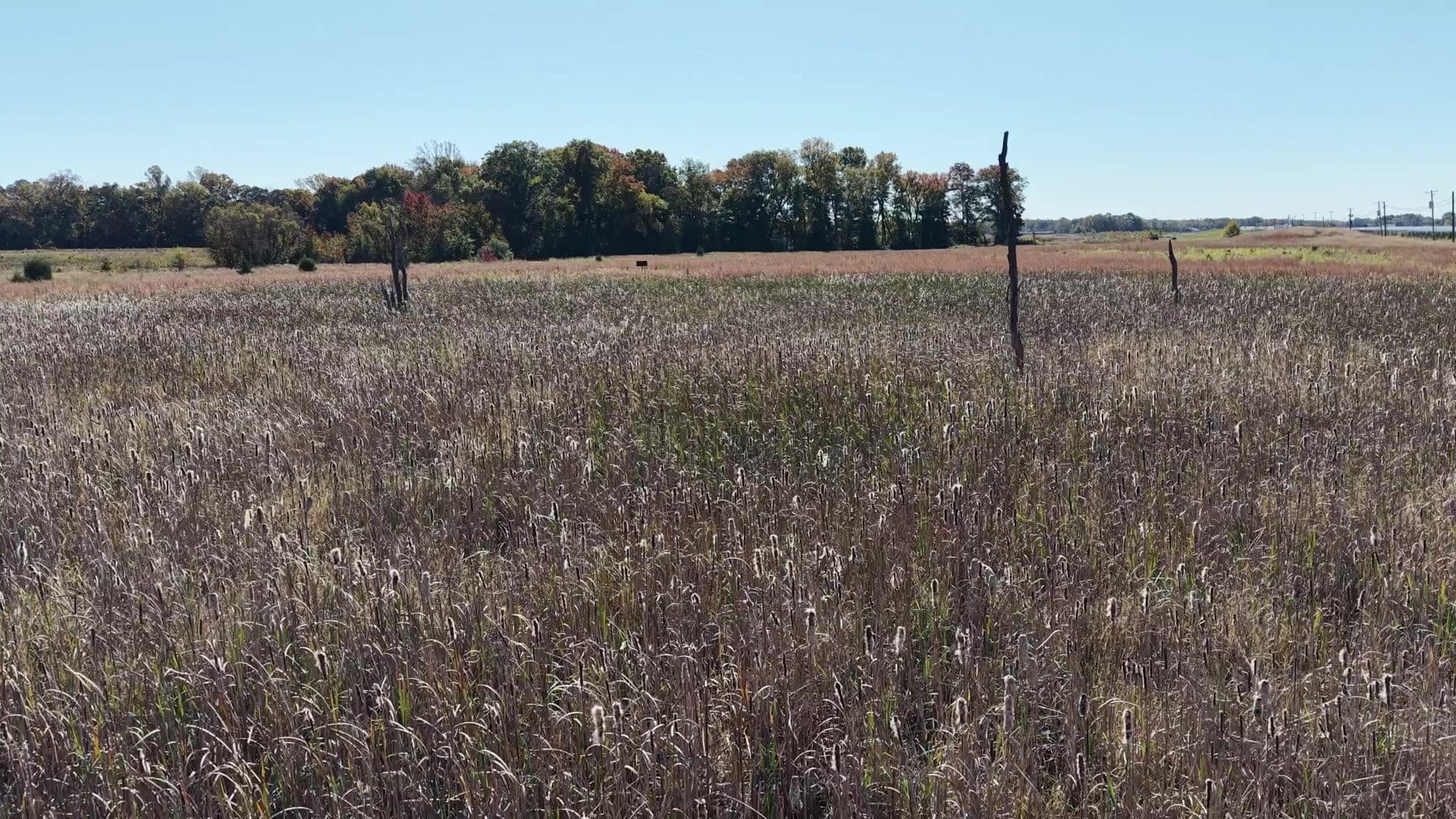
North County Regional Park is a 207-acre parcel of woods and fallow fields on the upper Choptank River just north of Greensboro, in Caroline County, Maryland. It was part of a 500-acre property farmed for generations in a corn and soybean rotation; the County bought half of it in 2016 for public river access, protection of environmentally important areas and future recreation, and tillage ceased in spring 2019. The park lies within the Chesapeake Bay Critical Area and a Section 319 Priority Implementation Area, and the tributary it drains to is listed as impaired for total suspended solids and channelization.

Download PDF summaryOne-sheet project summary (PDF)
Video of the North County Regional Park Stream Restoration project
Stream and ditch restored
2,560 LF
Delmarva Bay wetlands created
2.5 ac
Sediment and nutrient loss reduction
~70%

Services provided

  • Design
  • Permitting
  • H&H modeling
  • Stream monitoring
  • Bid evaluation
  • Construction oversight

Project overview

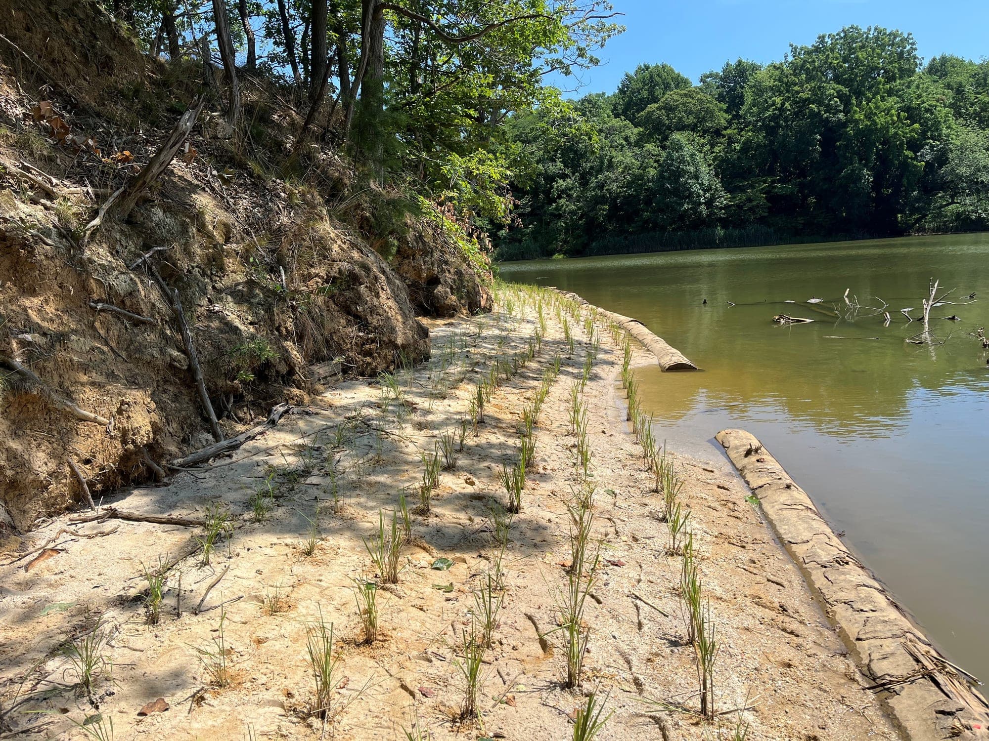
Two stream channels and an old agricultural ditch cross the northern part of the park and flow directly to the river. Runoff reached them as sheet flow from the fields, as concentrated flow through gullies from the northern watershed, and as groundwater from field tile drains. One channel was eroding headward into a field despite grass buffers the County had widened, a failed drainage swale near the confluence was eroding severely around its drop pipes, and an eroding bank more than 15 feet high was close to failure. Both tributaries were deeply incised, and all three channels were delivering sediment straight to the Choptank.

Caroline County Recreation & Parks retained Sustainable Science in January 2020 for stream monitoring, hydrologic and hydraulic modeling, design, permitting, bid evaluation and construction oversight.

Photo of the North County Regional Park Stream Restoration project

Monitoring before design

Sustainable Science walked the site with the County and its grant partners in December 2019, circulated a concept a week later, and in February 2020 delivered a grant-level plan set and planning-level cost estimates on aerial LiDAR topography. Rather than finalize the design from LiDAR alone, the firm then spent a year measuring the channels. It set stream channel transects with permanent monuments, bank pins on the outer meander bends, a water level recorder and a tipping bucket rain gage, surveyed the transects monthly through 2020 to establish how much sediment the channels were losing, and monitored groundwater in the permeable Sassafras sandy loam soils. That year of watershed data drove the final design.

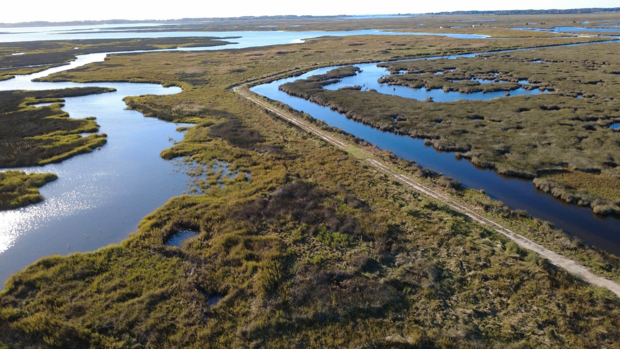
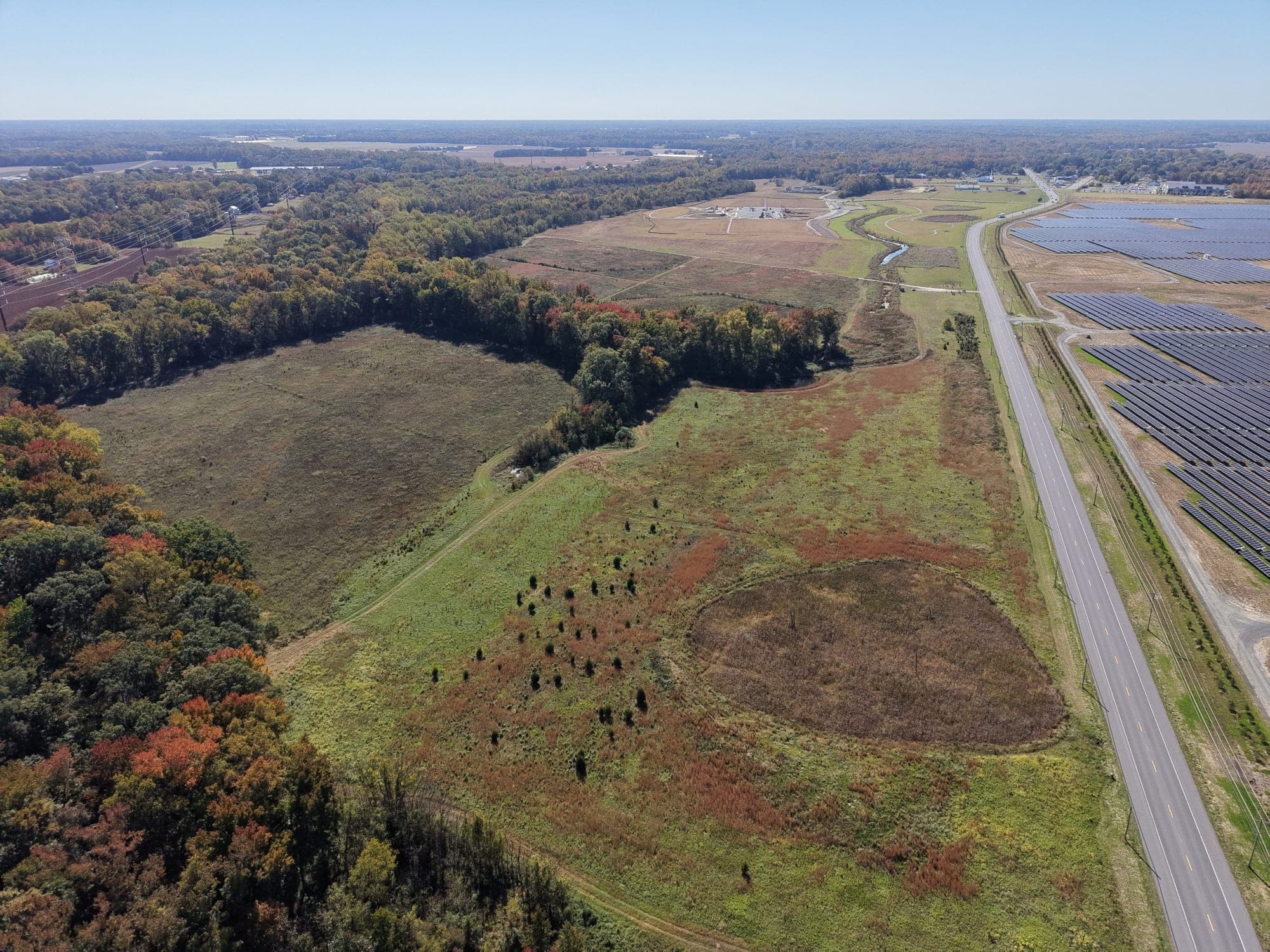
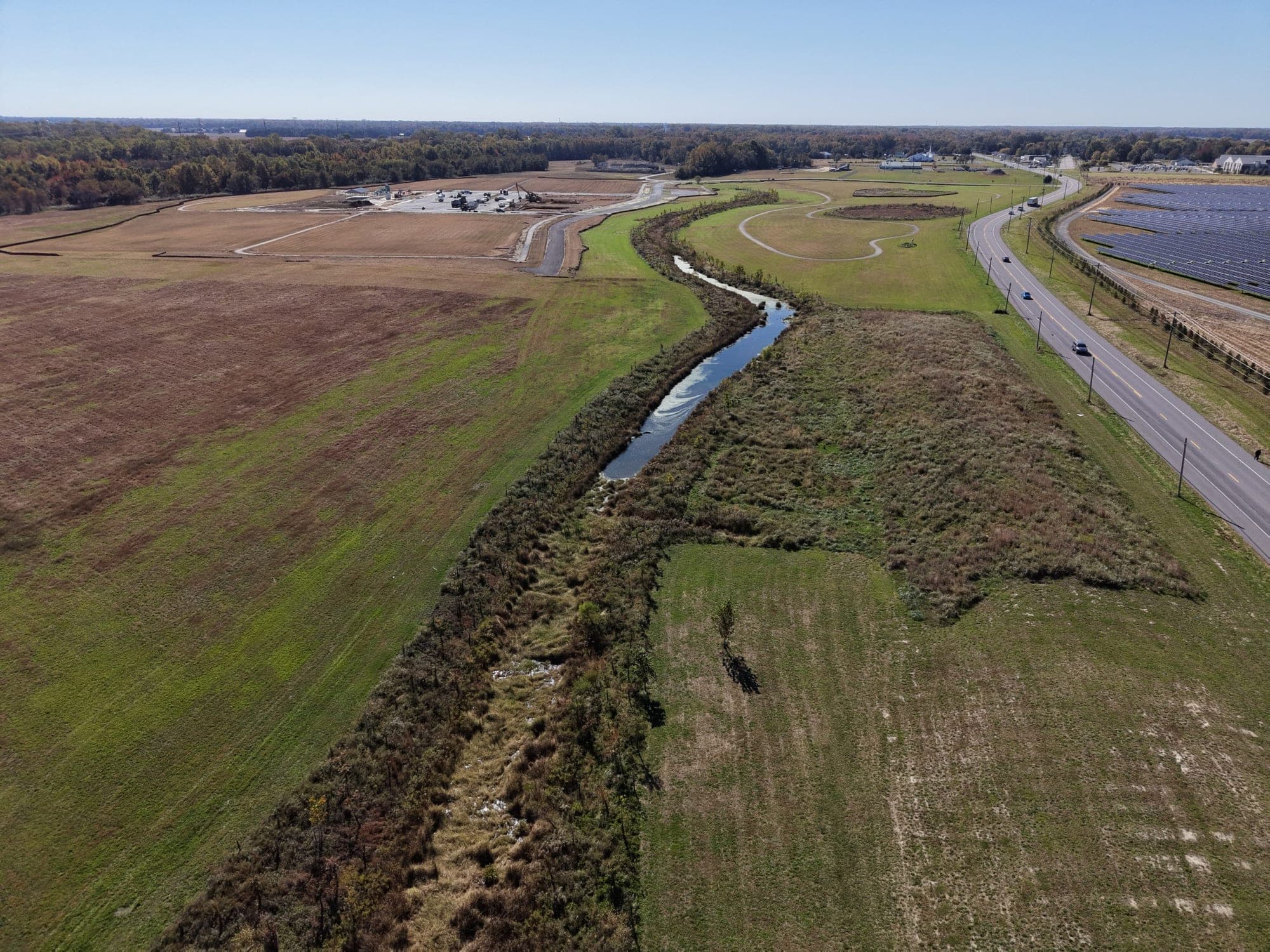
Aerial view of project extents

The design

The design treats about 2,560 linear feet of channel in two reaches. Along 1,300 feet of the agricultural ditch, log boulder steps and riffle grade controls raise the channel bottom in increments to reconnect it with its floodplain. Along 1,260 feet of the incised tributaries, regenerative stormwater conveyance step pools built of imbricated stone, with a sand and woodchip mix in the pools to create nitrogen-reducing conditions, step the flow down to the river, and imbricated riprap protects the outfalls.

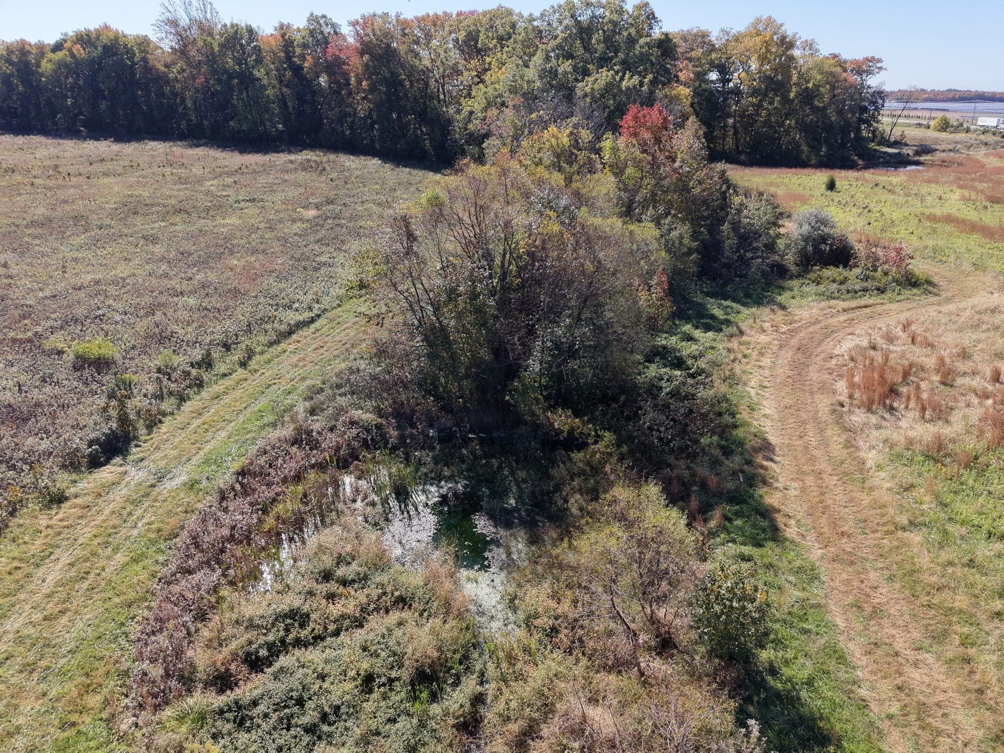
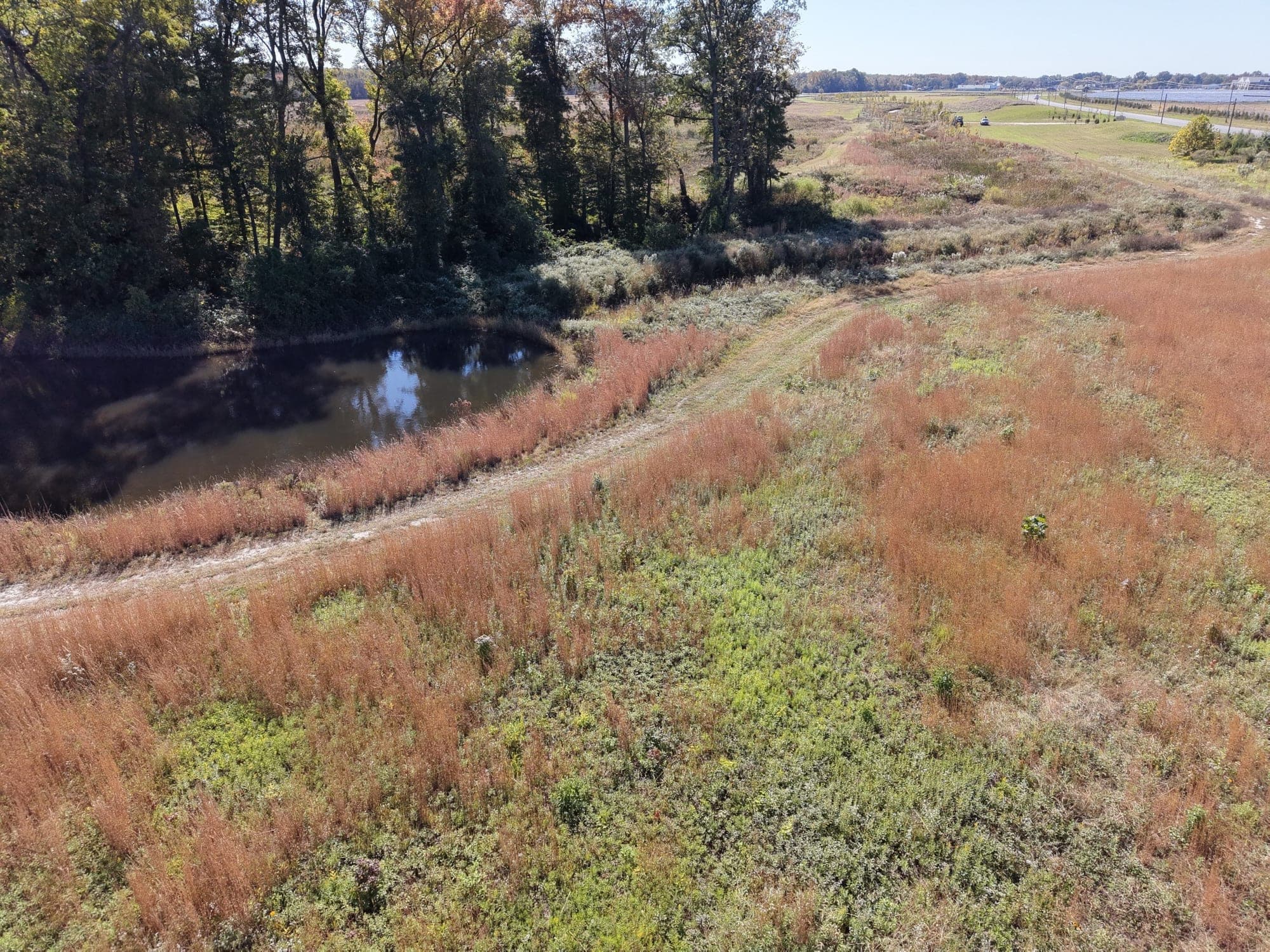
Off the channels, two Delmarva Bay wetlands totaling 2.5 acres were shaped as shallow, seasonal depressions with sandy rims, and two retention basins intercept and infiltrate surface runoff before it reaches the channels. The planting plan paired native seed mixes for coastal plain wetland, riparian buffer and retention basin zones with native wetland plugs and shrubs such as buttonbush, mountain sweet pepperbush and highbush blueberry.

Stormwater detention

Permits, funding and partners

Sustainable Science prepared the joint federal and state application to MDE and the U.S. Army Corps of Engineers in spring 2021 and acted as the County's permitting agent and engineer of record. The project was first routed through the Corps' Section 510 Chesapeake Bay Environmental Restoration and Protection Program; in March 2022 the firm withdrew it from that program and requested review under Nationwide Permit 27 instead. MDE issued its nontidal wetlands and waterways Letter of Authorization on May 24, 2022, and the Corps verified the project under Nationwide Permit 27 on July 19, 2022. The plans were NRCS-certified and approved by the Caroline Soil Conservation District.

Funding came through EPA's Section 319 program, administered by MDE, and the DNR Trust Fund, with Recreation & Parks as lead agency and grant sub-recipient. The Caroline County Department of Planning and Codes and University of Maryland Sea Grant Extension were partners for implementation and outreach, and Washington College Center for Environment and Society coordinated 60 acres of native grassland and meadow plantings across the former fields under separate funding.

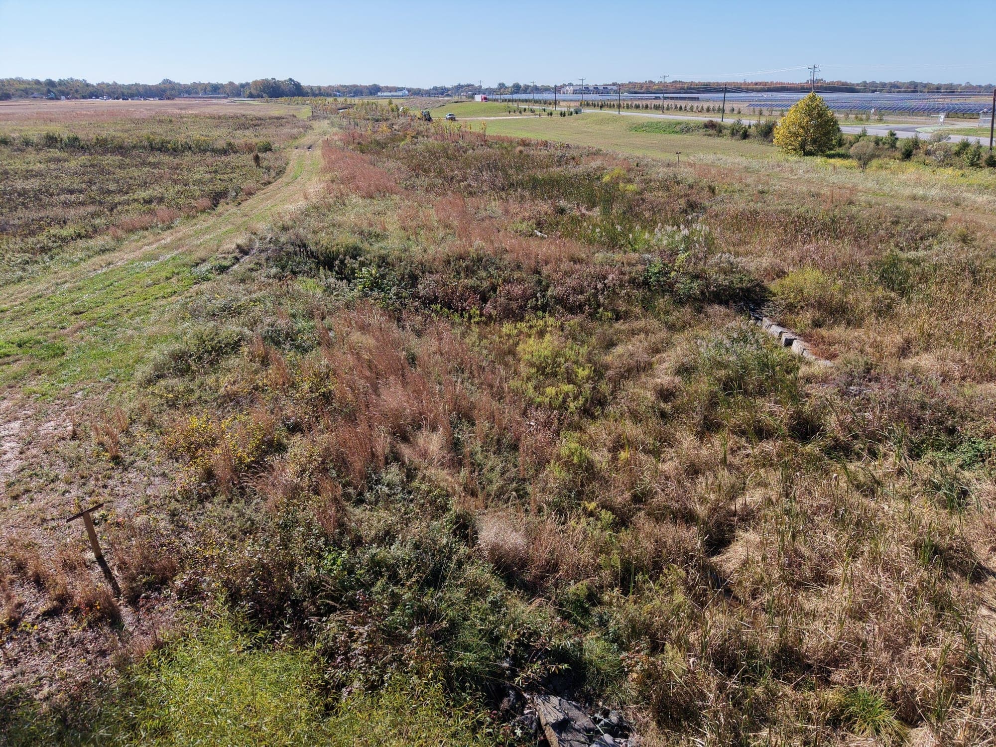
Diverse RSC pool vegetation

Construction and planting

The County bid the construction in early 2022, holding a prebid meeting on February 2 with bids due March 9. Nine contractors bid. Sustainable Science evaluated them and in April 2022 recommended Ecotone LLC of Forest Hill, Maryland, over the low bidder: Ecotone had attended the prebid meeting, had been general contractor on all of its reference projects, and had priced the work close to the engineer's estimate, while the low bidder had received the package the day before bids were due and risked underestimating the work in the deeply incised channel. Ecotone built all of the practices as general contractor under Sustainable Science's construction oversight, and the firm issued as-built drawings in January 2023.

Planting followed as a second phase. In January 2024 Sustainable Science reviewed nine bids for the large-scale native tree and shrub planting contract and recommended Ecological Restoration & Management, which had installed the landscaping on the original project; its contract ran through September 2024, with watering and punch list work through that growing season. In March 2025 the same contractor completed a planted wetland outlet swale and repairs to log boulder steps, designed and permitted by Sustainable Science, closing out the project.

Agricultural ditch restoration

Results and recognition

Sustainable Science repeated the monthly transect surveys after construction, in 2023, and compared them with the 2020 baseline. Sediment volumes were converted to tons using USDA Web Soil Survey bulk densities for Caroline County, and nitrogen and phosphorus losses were derived from typical concentrations for Eastern Shore agricultural soils. The comparison indicated about a 70 percent reduction in sediment and associated nutrient loss, with around 103 tons of sediment retained. Post-construction monitoring continues.

EPA Region 3 and MDE Section 319 staff toured the site in 2023, before planting, and returned on August 22, 2024 for the 319 Annual Program Review. On April 28, 2025 EPA finalized the project as a Nonpoint Source Success Story titled 'North County Regional Park Project along the Upper Choptank River Benefits Water Quality and the Public.' Three illustrated interpretive signs, covering the project overall, the Delmarva bays and the regenerative stormwater conveyance, were developed with University of Maryland Sea Grant Extension to explain the restoration to park visitors.

More projects - Other work from our team.

A look at the range of restoration, resiliency, and ecological design work Sustainable Science, LLC delivers.

Have a similar project in mind?

Contact Sustainable Science, LLC to discuss how we can support planning, permitting, design, and construction for your restoration or resiliency project.