Sustainable Science started with a historical data review and a conceptual layout drawn from LiDAR and orthoimagery, then completed a topographic and bathymetric survey with substrate characterization alongside a tree survey, wetland delineation, utility location, and GIS base mapping. A wind and wave analysis, with the longest fetch of roughly two miles, and a tidal elevation analysis set the sill location and elevation, and the concept accounted for projected sea level rise.
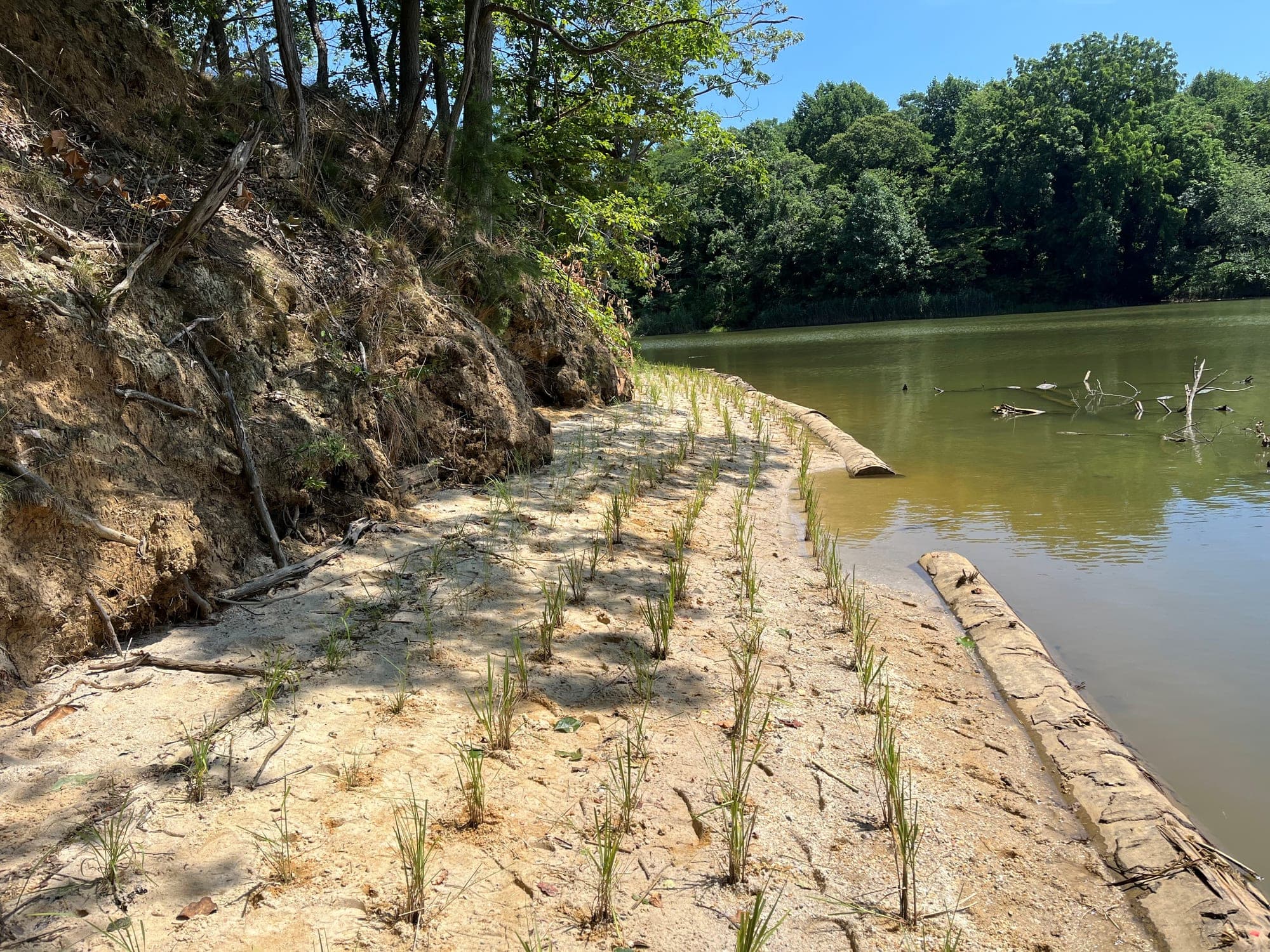
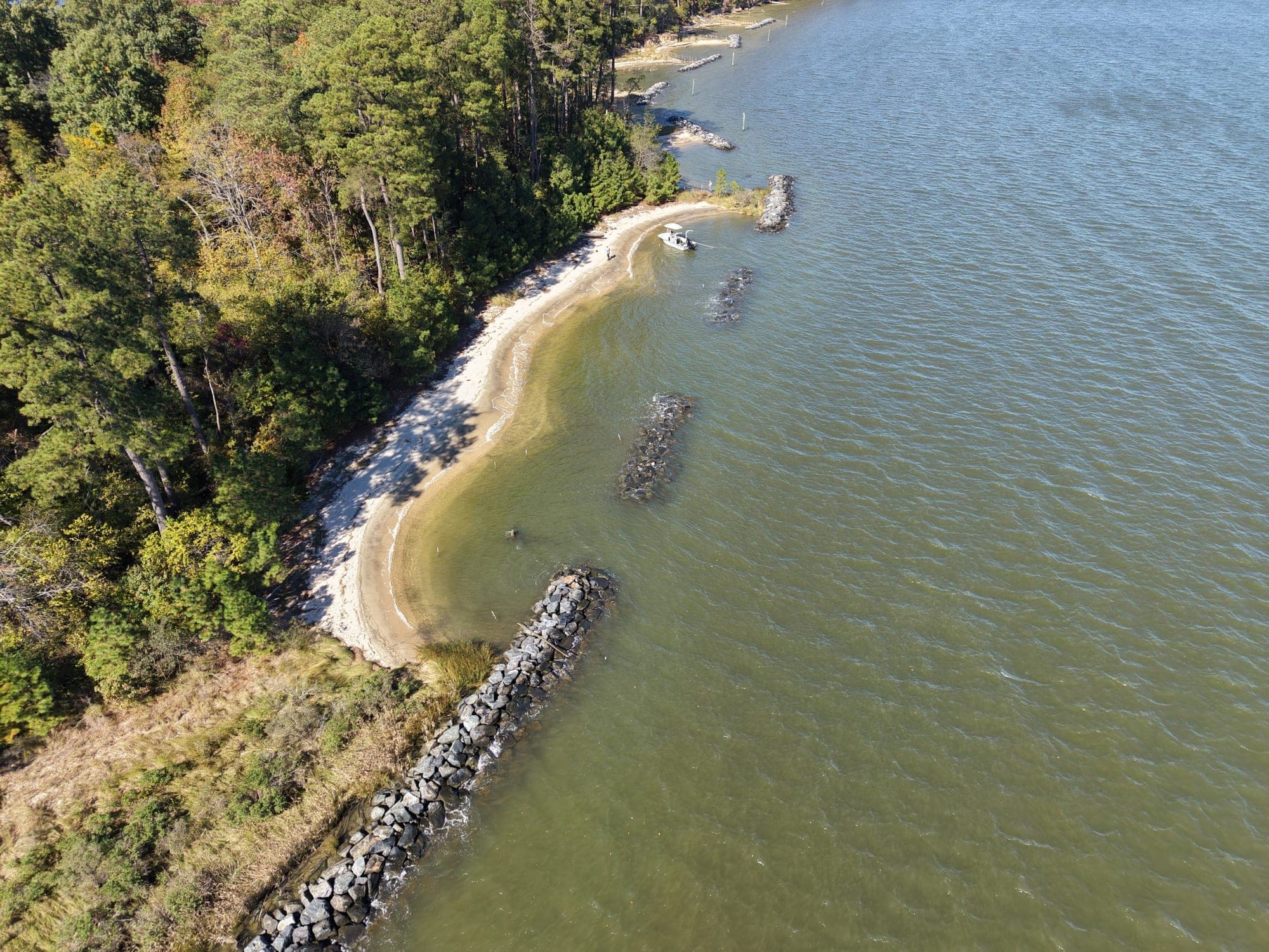
The design is a low-profile hardwood log sill: logs of at least 16 inches in diameter with their tops set at mean high water, secured with rebar or all-thread, with branch packing to fill the undercut toe. A band of sand fill 10 feet wide sits behind the sills, broken by 10-foot vent openings, and extends no more than 11.1 feet channelward of mean high water. Low marsh of Spartina alterniflora and high marsh of Spartina patens, Panicum virgatum, and Panicum amarum are planted in the fill, with upland seed mixes and replacement trees at a one-to-one ratio for any trees removed. The permitted design called for 498 linear feet of sill, 200 cubic yards of sand, and approximately 4,095 square feet of marsh.
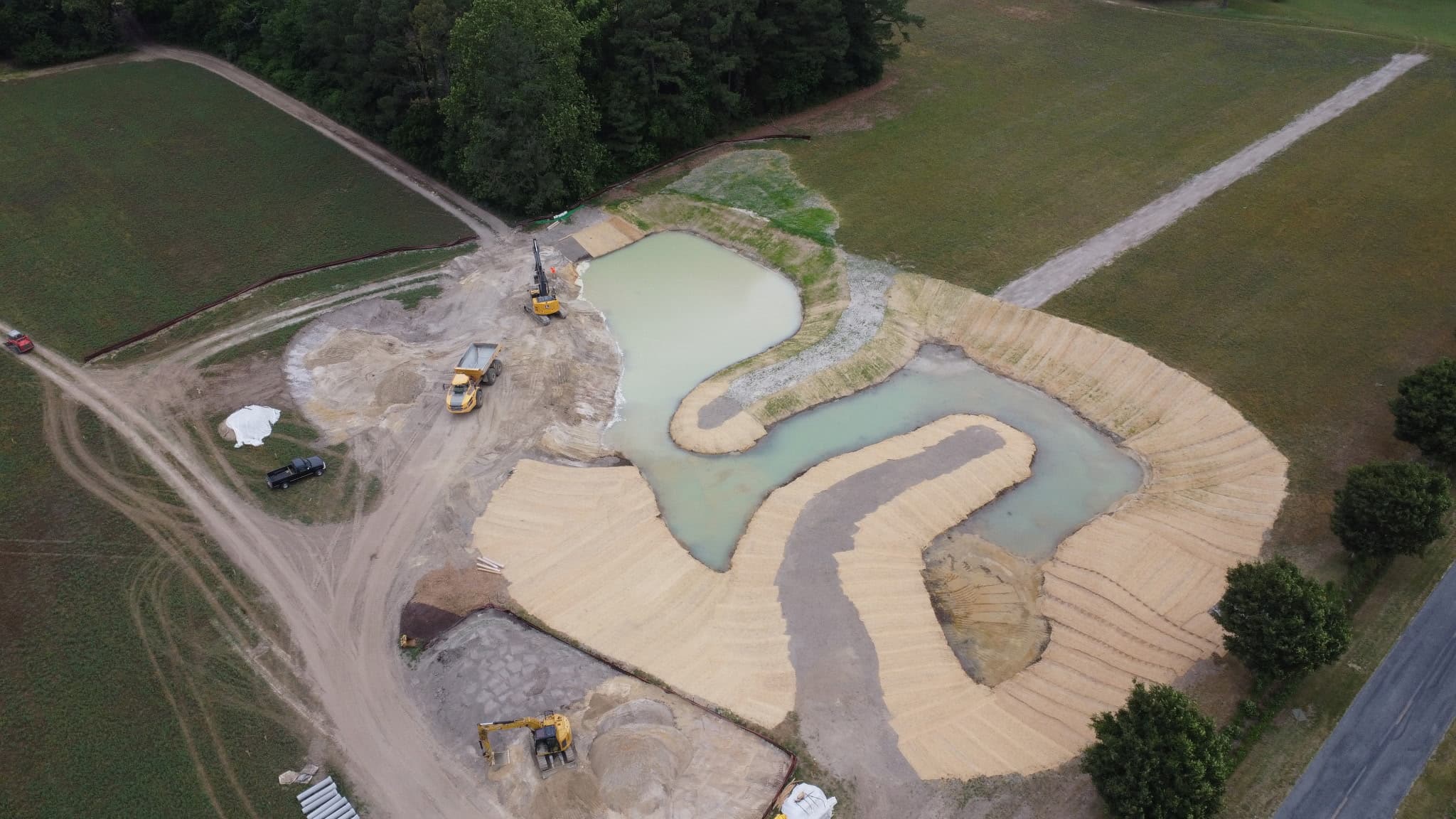
Sustainable Science prepared the 12-sheet construction plan set with the erosion and sediment control design, limits of disturbance, and access and staging on mulched haul roads and timber mats. Through the Navy 30 percent and 60 percent reviews, the firm tightened the limits of disturbance near historic sites and labeled the trees to be removed so that trees cleared for access could be reused as sill logs.